Where
Our starting point is The Basin campground off Basin Forest Road, via Bucketty. Even the drive in is memorable. The La Nina weather pattern has brought a welcome relief to the Central Coast Hinterland, and warm humid days bookend with long periods of gentle rain bringing the bush, wilderness and farmland alive with lush, emerald new green growth and a sense of calm and relief.
We turn off the bitumen at what the locals call ‘The Letter A’ where farmland gives way to rugged, forested ridgeways and vast dramatic views of wilderness as you follow a well-maintained gravel road for two kilometres before turning left onto Walkers Ridge Forest Rd. From here you wind down a forest trail to the Basin campground. The route is accessible to most two wheel-drive vehicles.


The Trail
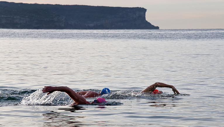
The river at the base of The Basin campground has waterholes and stretches of river that are deep enough for a swim, and suit those looking for a place to cool off and wind down away from the crowds. I doubt this river was flowing last summer.
One of the shorter walks is the Lyrebird Track and, by way of comparison, it’s more like a Tasmanian walk than a Blue Mountains slog. It ducks and weaves along a perennial river named Wollombi Brook, providing plenty of opportunities to stop, relax and swim in the waterholes, or catch a glimpse of the very shy, nocturnal platypus. The track is relatively challenging, has some slippery sections and steep climbs, and there are a few spots where the trail cuts close to the edge of the canyon, so please take care.The walk I am leading today is an eight-kilometre, one-day walk. It’s part of the Great North Walk that connects walking trails from Circular Quay to the Hunter River and Nobbys Head in Newcastle. We are walking it in the reverse direction, as the thought of walking this section uphill from Cedar Brush seems a little uninviting. We have already left a car at the other end down in Cedar Brush, and I estimate we’ll be back to it in about three hours.
We set out from the Basin Camping Ground in the Olney State Forest that is part of ‘The Watagans’ chain of forests. Although I want to stay by the river and explore a little longer, the mountains are calling. The first 250 metres are all uphill, which is a good wake up call for the cardio system, but thankfully it is short-lived, and the spur we are ascending crests at a nice little saddle with a few logs scattered for seats.


This is a good spot to stop and catch your breath. Over to the left is a band of remnant sandstone cliffs, dotted with small caves that need exploring. The First Nations’ people, the Darkinjung clan, were known to leave behind carvings, paintings and stencils. There is a cave in this region that has a mass of hand stencils. It’s a bit like our modern-day QR code, an ancient form of signing in and out of a region or territory.
This section of track showcases the magnificent blue gums (Eucalyptus saligna) with their towering trunks. The native bellbirds provide quite a chorus as we set off down the other side of the spur. If you are soft-footed enough, you may see the elusive lyrebird dart around the forest floor. Listen for its unique song that can vary from the sweet renditions of love songs from other birds to the roar and buzz of a chainsaw.
On either side of the trail are carpets of maidenhair fern (Adiantum aethiopicum) interlaced with lichen, which tells me we are on the southern side of the ridge, and soon we will find the Brook again. Around the next bend we are met by a spectacular overhead display of bird’s nest ferns, (Asplenium nidus) hanging from the trees like suspended chandeliers and draped with lichen and vines.
The bellbirds are now drowned out by the sound of waterfalls, and the bird calls change to that of the eastern whipbird, and – we are in luck – the shrill of the lyrebird. Soon enough we are back beside the river and find a great place to jump in and cool off. The water is crystal clear and I can see the huge claws of the native crayfish or yabby below my toes. Best not to put my toes down just yet.


There are so many spots along the next kilometre to stop, rest and explore, and it is taking us an extraordinary amount of time to complete this section because it is just so beautiful. I want to relax, explore, unplug and unwind, and why not? We have all day. We find a small overhanging cave with a natural coffee table, and although I did not bring my favourite barista with me today (she was busy), I do manage to pull out a cheeky couple of ice pack-cool beers.
I know by looking at the map, the next bit is going to get harder, so the hiking boots are off again, and it’s time for another quick dip. The Basin campground to the Great North Walk track intersection is two and a half kilometres, and it took us about an hour’s walking time. This is a challenging walk; the track is very much up and down and quite slippery in some sections.
The track leads away from the river and out of the coachwood forest (Ceratopetalum apetalum) that is host to hanging bird’s nest ferns. Then it’s back into the drier open forest. The coachwood tree is a close relative of the NSW Christmas bush, with the classic star-like flower, but the main differences are its height and flower colour. The coachwoods have white flowers, not red.
The climb out of the valley is made easier with rock steps that have been carved or placed evenly to help us zig-zag up the slope. The trail widens out at the top and turns into a fire trail. Continue following this until you reach the road where you’ll come across a log-loading area recently used by the State Forests.

This uphill section takes 20 to 30 minutes. The Great North Walk signs point you in the right direction; follow these back to Walkers Ridge Forest Rd and then continue another kilometre until the track veers off to the right along Kingtree Ridge Fire Trail. If you only have one car with you, you can return to the Basin Campground from this intersection via the gravel roads. It also makes a good emergency extraction point if required.
The fire trail section of this walk takes the best part of an hour and is fairly easy walking. Just before the track leaves the fire trail and descends back down into the next valley, there is a small campsite, shelter, and water tank off to the right at a place called Walkers Rest. Today the water tank is full, but it’s strongly recommended that you boil this water before drinking. We are each carrying two litres of water so we don’t need a refill.
The last leg of today’s walk takes us back into the forest, crisscrossing a small spring-fed creek several times past small waterfalls and cooling-off spots. We pass by a small male satin bowerbird’s lair, laced with blue plastic, bottle tops, pegs and other pieces of man-made rubbish that the bowerbird uses to seduce his harem. Personally, I can’t see how it does; I’ve tried leaving my rubbish around the house, and that impresses no one.
All too soon, the valley opens up to farmland and you skirt around open paddocks and down to the final creek crossing for the day. This lovely little stream is surrounded by yellow flowering water gums (Tristaniopsis laurina). Once over the stream, a final little track leads out past one of the remnant giants that this valley was known for: the spectacular Australian red cedar (Toona ciliata). We arrive back at the car right on three hours’ walking time.
Once again, the drive out of Yarramalong Valley or back up to the Basin to collect the other car is serene and spectacular. As for me, coffee at Angel Sussurri cafe in Yarramalong awaits.
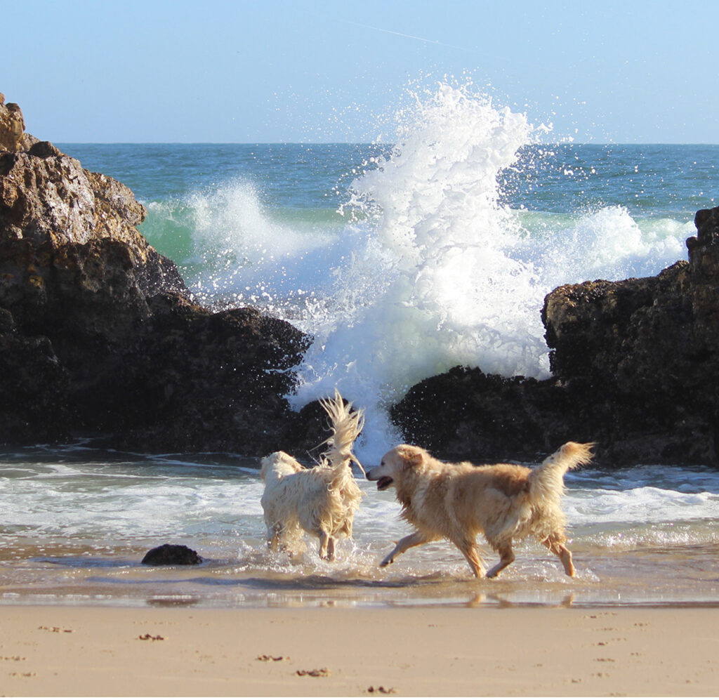
DISTANCE: 8 km. LEVEL: Difficult. NOTE: Dogs allowed.
WORDS JAMES LUTWYCHE. PHOTOS GRACE LUTWYCHE.